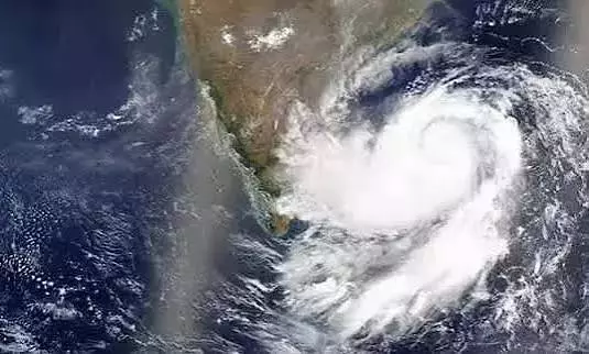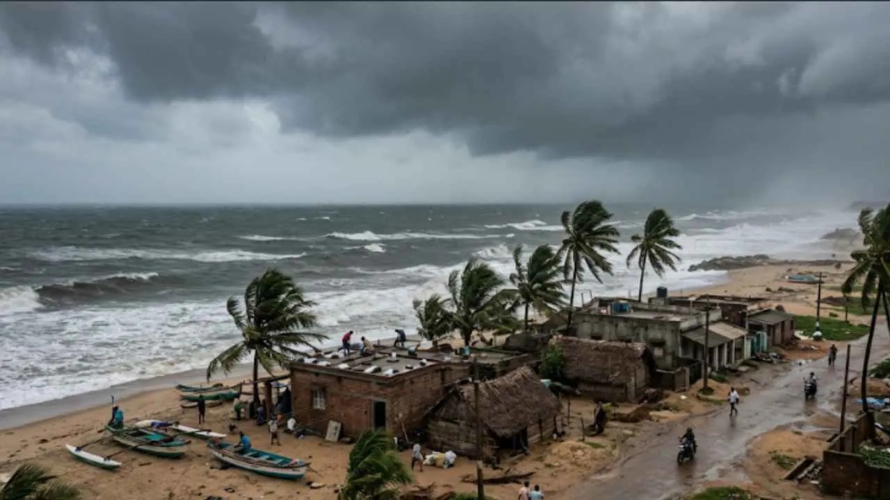
Rains have set in across Kolkata and several districts of South Bengal as the outer cloud bands of Severe Cyclonic Storm Akvan sweep over the region. The India Meteorological Department (IMD) says the system, currently over the west-central Bay of Bengal, is on course to make landfall between Narsapur in Andhra Pradesh and Puri in Odisha by Friday noon.
Early on Thursday the storm lay centred near 14.5°N and 85.3°E, roughly 440 km east-southeast of Narsapur and an equal distance south-southeast of Kalingapatnam, about 530 km south of Gopalpur and 590 km south of Puri. It was moving northwards at around 12 kmph. The IMD expects it to continue on a north-northwest track and cross the North Andhra Pradesh–Yanam and South Odisha coasts close to and east of Gopalpur around noon on November 20 as a severe cyclonic storm, with maximum sustained winds of 90-100 kmph gusting to 110 kmph.
Forecasters have repeatedly revised both the track and the intensity. Earlier projections had pointed to a more southerly landfall and a stronger storm; the latest assessment places the crossing farther north and keeps the peak intensity at the severe category rather than very severe. Models still show some divergence, but the official outlook remains focused on the stretch between Narsapur and Puri.
In West Bengal the immediate effect is rainfall rather than strong winds. Overnight and morning showers have already been reported in Kolkata, Howrah, North and South 24 Parganas, and the Midnapore districts. The Regional Meteorological Centre in Kolkata has placed East and West Midnapore under an orange alert for Friday, warning of heavy to very heavy rain (7–20 cm) in isolated pockets, along with thunderstorms, lightning and gusty winds of 40–50 kmph. A yellow alert covers other South Bengal districts from Thursday through early Sunday. Isolated heavy rain is also possible in parts of South 24 Parganas and Jhargram, while Kolkata and adjoining areas are expected to see light to moderate rain with thunder and winds of 30–40 kmph into the weekend.
Kolkata and Haldia ports have raised Distant Warning Signal No. 2, and Sagar Island has issued a corresponding storm warning. Fishermen have been advised not to venture into the deep sea until conditions improve. The Met office has cautioned about possible waterlogging in low-lying areas, temporary disruption to traffic, and damage to vulnerable structures or standing crops in districts that receive heavier showers.
Odisha has begun large-scale evacuations from coastal and low lying areas, with thousands of people moved to safer shelters. Andhra Pradesh authorities are also on alert for heavy to extremely heavy rain along the coast as the system approaches. North Bengal is expected to see only lighter, more isolated rain starting later in the week.
Residents in Kolkata and South Bengal districts have been asked to stay indoors during thunderstorms, avoid open fields and water bodies, and keep emergency supplies ready as the rainfall activity continues through Friday and into the weekend. The system is forecast to weaken after landfall and move inland, with residual rain continuing over parts of eastern India before the weather gradually improves. This follows close on the heels of Very Severe Cyclonic Storm Arnab, which crossed the Andhra Pradesh - Yanam coast in late October and brought heavy rain to parts of Odisha and South Bengal.