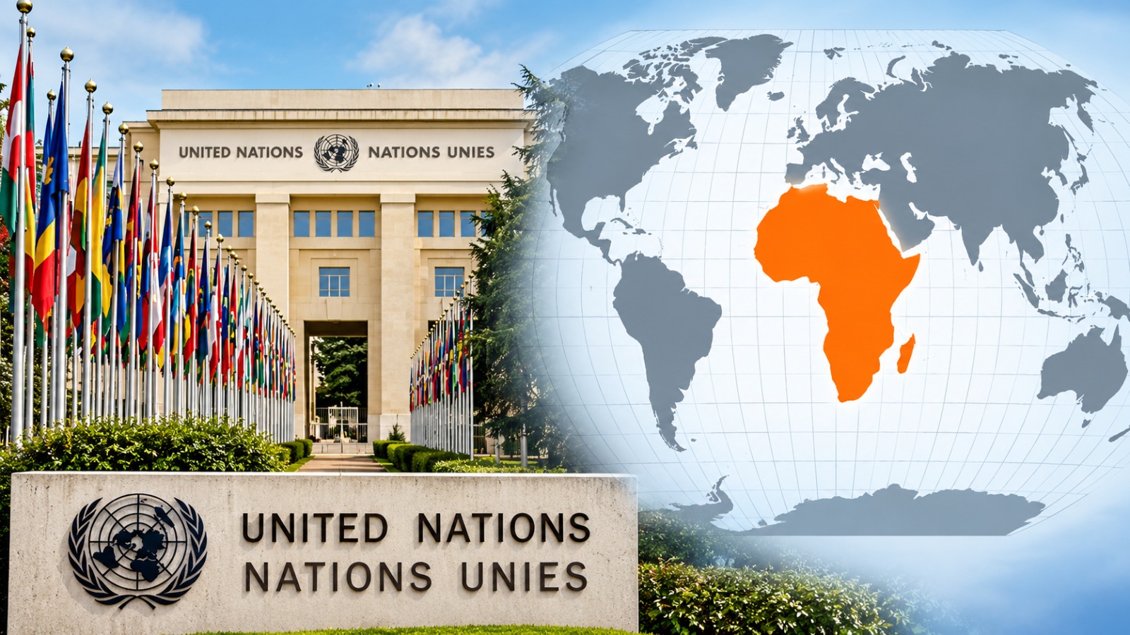
The world map familiar to generations of students may be about to look very different. The United Nations General Assembly has backed a resolution encouraging the use of the Equal Earth projection, a map designed to represent the relative size of continents more accurately. Led by Togo and supported by African Union members, the “Correct the Map” initiative passed overwhelmingly on Friday, with 164 countries voting in favour, the United States voting against and six countries abstaining. The resolution does not formally ban the traditional map, but it marks a significant international push to change how the world is visually represented.
At the centre of the debate is the Mercator projection, created by Flemish cartographer Gerardus Mercator in 1569. The map was developed primarily for navigation and remains useful because it preserves directions and angles. But its major weakness is the way it represents area. The farther a landmass is from the Equator, the more its apparent size is exaggerated. As a result, Europe, North America and Greenland appear far larger than they are in reality, while Africa, South America and other regions closer to the Equator appear comparatively smaller. One of the clearest examples is Greenland: on a Mercator map, it can appear roughly comparable in size to Africa, despite Africa being about 14 times larger.
The Equal Earth projection, introduced by cartographers in 2018, attempts to correct this imbalance by preserving the relative surface areas of continents. On such a map, Africa occupies a dramatically larger space than it does on the Mercator projection, while the apparent size of northern regions is reduced. The objective is not to make Africa physically “bigger” on a map, but to ensure that its representation corresponds much more closely to its actual geographical size. The same correction also changes the visual proportions of Latin America, South Asia and Oceania.
For the African countries that spearheaded the campaign, however, the issue is about more than cartography. Togo has argued that maps influence how people understand the world and that decades of distorted representations can shape perceptions of the importance and scale of different regions. Foreign Minister Robert Dussey has connected the campaign to broader efforts to confront the legacies of colonialism, while stressing that it is not intended as an attack on Europe or any other civilisation. The argument is essentially that geographical accuracy matters in classrooms, textbooks, media and public institutions because visual impressions can influence how entire continents are perceived.
The resolution nevertheless stops short of ordering the world to abandon the Mercator map. It is non-binding, and the United Nations has made clear that the Mercator projection remains appropriate for certain purposes, particularly maritime and aerial navigation. The next battle will therefore be over adoption rather than legislation. Togo plans to change its school geography materials by the end of this year and is expected to encourage other governments, educational institutions, international organisations and technology companies to follow. France, which co-sponsored the resolution, has also announced that it intends to move away from Mercator in favour of representations better suited to different uses.
The United States was the sole country to vote against the resolution, describing it as part of an ideological agenda and arguing that the UN should focus on more pressing international challenges. Supporters, meanwhile, see the vote as an important symbolic step towards correcting a geographical representation that has been commonplace for centuries. The map cannot change the physical size of a continent — but it can change the way people see it. And after Friday’s vote, the UN has put that question firmly on the global agenda.